
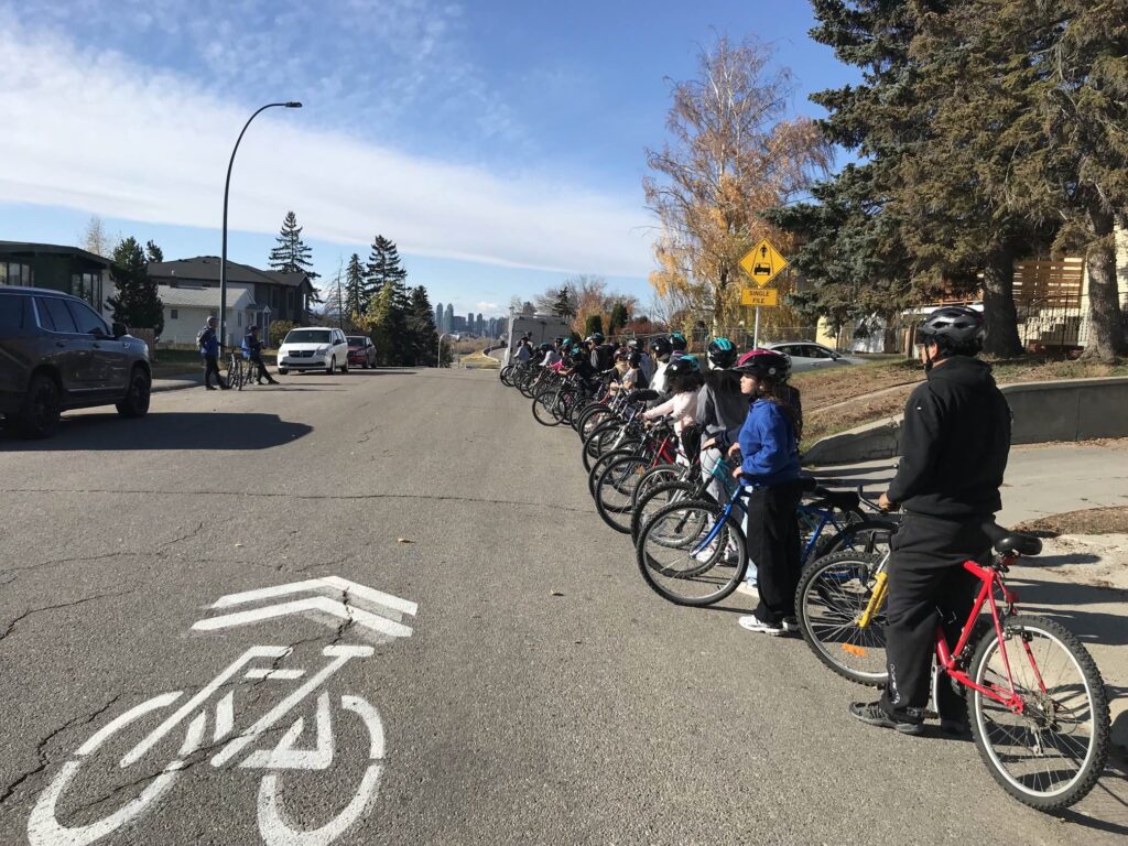
Wayfinding is the process of deciding how to travel between two points. You may already know exactly how to get to school, but the route by car or bus will probably not be the best way to cycle to school. When you are planning your route, the two most important things to consider are safety and distance.
A safe route is one that has a minimum of hazards to cause problems on your ride. For example, cycling on 14th St. or MacLeod Tr. is not safe for any cyclist. Other hazards, like road repairs, may cause problems on a temporary basis. You need to be aware of them, and understand how to safely navigate around them.
A safe route is also one where you feel comfortable riding. This will depend on your riding experience and general level of comfort on a bicycle. Riding when you feel nervous or scared is never fun, so make sure that you create a route you look forward to being on.
Speed and distance
Distance is about creating a route that will get you to and from school in an acceptable time period. If one route is faster but it takes you on a busy street, or through an intersection that you don’t feel comfortable being in, then don’t include that on your route.
Another option could be about how pleasant a route is. If you live on the south side of Fish Creek Provincial Park, you may have several options for getting through the park. If you like cycling through the park, then you may decide to take the longer option because it is more fun.
You might create one, faster route to get to school, and another, slower route to get home when you have more time to enjoy the ride. If you have activities outside of school that you need to get to, either before or after school, then you may need to create a route that includes those locations.
Be sure to consider weather. What would normally be an excellent route could be less safe in adverse conditions. Ice, or wet or muddy trails can make riding a challenge.
Creating a route
If you have a family member or friend who is an experienced cyclist, it might be worthwhile to ask them for advice when creating your route. Talking with someone who drives the area could also be helpful but be aware that driving and cycling are not the same, and what feels safe and comfortable in a car won’t necessarily feel the same on a bike.
There are many ways to create a route. The Bike to School website has a map with the districts around the school and sample routes from various neighbourhoods, add link here. Use these sample routes to give you a general idea of where your route will go, but they won’t give you a detailed street by street guide. To do that, use one of the following:
Choose a mapping tool
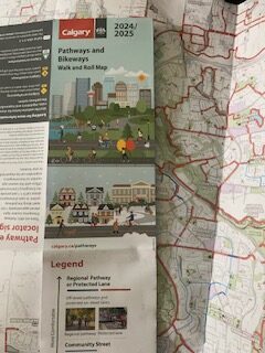
Hard-copy City of Calgary Bikeways and Pathways Map
The City of Calgary publishes paper maps of bike pathways and these are available from the table display at school when we visit. You can also stop in at The Bike Hub any time you want to grab a copy. You may be able to use this map, along with the sample map for your neighbourhood to create your route. Highlight the route on the map and then bring it with you to consult as you ride to and from school. Note that the map is only published every few years, so new routes that are planned or recently opened will not be marked on the paper copies.
Online City of Calgary Bikeways and Pathways Map
You can find this version online (no app exists but it will load on any browser). The digital version is better than the hard copy map as it is updated as new infrastructure is built. Probably the best thing of all for the City of Calgary Bikeways and Pathways Online version is that it will show you what routes are cleared in the winter from snow and ice, and for the first time ever there is real-time snow clearing being updated as routes are cleared. They haven’t gone as far as naming the pathway snow-plows yet, but we could always send some encouragement for them to do so. This online version is helpful for showing detours as they are both planned and happening to best plan your route.
Geovelo
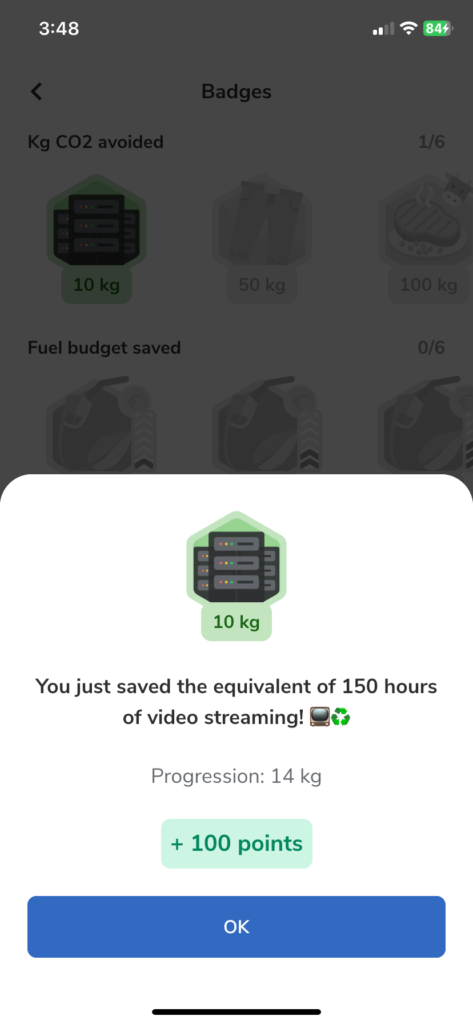
Youth en Route recently started using Geovelo for both the superior route creation by rider comfort level and it’s age appropriate gamification and badge creation.
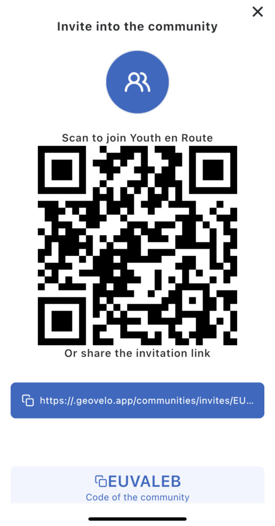
Geovelo will also allow for the creation of both public and private communities, so riders in a group can chat with each other to discuss trip planning, best places to grab a slice along the route, meet up times and really anything. All Calgary high schools have been set up with their own “closed community” to ensure students can chat safely about biking to school. If you have not heard of this at your school, have a teacher or administrator reach out to Programs@youthenroute.ca to request an invite code to join that school.
Some school areas have maps created in Geovelo to local landmarks, public libraries, parks and malls. You do not need to be a member of a community to see all public routes that have been created, and you are always welcome to generate your own routes, although that should be done in the browser version and not on the app itself.
If you want to check the app out for yourself and are interested in trying the community function, Youth en Route has created our own community that is open for all to try.
Google Maps
Google Maps is another great tool for navigating and wayfinding, but always confirm the route before you head out. There are times that it will have you riding on a heavily trafficked street when you might not be prepared or comfortable doing so. You can use the Google Maps website here. Ensure that you click the Bike option, and consider the various routes carefully, looking for potential safety issues or busy roads.
Komoot
Komoot is a service designed to create and store routes for cycling and hiking. There is a website, as well as apps for phones and tablets. The apps are available form Google Play or the Apple App Store. The main difference between Google Maps and Komoot is that Komoot is designed specifically for cycling and will often provide better routes than Google Maps. With Komoot, you can save a route that you have created and retrieve it for later use. You can also record a ride and then store it for later use.

Edit your route
For Geovelo, Google Maps and Komoot, the route initially provided may not be the best for you. If you are using the web version of either of these to create your route, you can edit the route before saving it, so it goes where you want. This can help to avoid areas where you do not want to ride. This editing feature is not available on the phone and tablet versions.
Do a Pre-ride
No matter how you create your route it is critical to ride it before your first ride to school. Do it when you have time to ride slowly and carefully.
If you find a place that you are not comfortable with, or there is some other problem, make note of it and use your map or app to try to find a way around the problem area. If you have a friend who will be riding to school with you, try to do this pre-ride together so both of you can check the route and discuss any problems. If not, then ask a family member or other friend to go with you. This is especially important if you are traveling in an area that you are not familiar with.
We can help
Check out the tips in our Wayfinding Video and if you stilll need help, shoot us an email at programs@youthenroute.ca if you’re struggling to find the best route, or would just like to connect with us for ideas and suggestions.